
Bangladesh –Myanmar maritime boundary
Bangladesh and Myanmar are friendly neighbouring countries and the relations between peoples of the two nations exist independently of governments and their policies.
Last month, the Vice-Chairman of Myanmar’s government (State Peace and Development Council), General Maung Aye, who is also the head of the Myanmar army, visited Bangladesh . He led a delegation including seven government ministers to discuss a host of bilateral issues with Bangladesh leaders. The visit was described as successful.
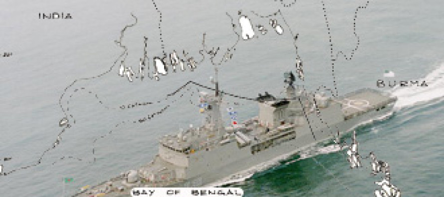
Against the background, the recent show of force by Myanmar in the Bay of Bengal in exploration of a disputed area has severely disappointed Bangladesh people because it was not only unexpected but also was contrary to the spirit of harmony and cooperation between the two countries.
In the Bay of Bengal, there has not yet been an agreed maritime boundary between the two neighbouring countries. The talks are on-going between the two countries on an official level.
The maritime delimitation has been made difficult because of geographical position. Both are adjacent states and not opposite states (Sri Lanka and India). It is rather easy to drawn a maritime boundary between opposite states.
Issues:
There are three issues to be settled with Myanmar with regard to delimitation of maritime boundary:
(a)Territorial Sea
(b) Exclusive Economic Zone
(c)Continental Shelf (sea bed)
The territorial sea extends to 12 nautical miles from the baseline. The Exclusive Economic Zone is another 188 miles and the Continental Shelf may extend to 350 miles in total, including the 12 miles territorial sea and 188 miles of economic zone.
The jurisdiction on the territorial sea of the state is three dimensional. The state exercises full sovereignty on surface water, air and seabed, except the “innocent passage” of ships.
The jurisdiction on the economic zone that includes sea bed is resources-oriented. This means all the living and non-living resources in the economic zone belong to the coastal state. The coastal state has also the sovereign rights to manage and conserve the resources within this area.
The jurisdiction on the continental shelf (sea bed) is also resources-oriented. If the area of the continental shelf is more than the area of the economic zone, then the coastal state can explore and exploit the sea bed for its resources up to 350 miles, that is another extra 150 miles of sea bed, in addition to 200 miles economic zone (12 territorial sea + 188 miles of economic zone).
UNCLOS:
Bangladesh ratified the 1982 UN Convention on the Law of the Sea (UNCLOS) in July 2001 while Myanmar ratified it in May 1996. This means both states are expected to be bound by the provisions of the UNCLOS in delimiting the maritime boundary.
The UNCLOS provides for the delimitation of maritime boundary as follows:
With regard to the territorial sea, Article 15 provides the equidistant method for its delimitation, unless the states concerned agree otherwise. The method is drawing a median lone every point of which is equidistant from the nearest points on the baselines from which the breadth of the territorial sea is measured.
With regard to the delimitation of economic zone and continental shelf, UNCLOS in its Articles 74 and 83 does not provide equidistant method as the basis of agreement.
Both the Articles provide that the delimitation agreement on economic zone and continental shelf must achieve “equitable solution” on the basis of international law- meaning UNCLOS provisions and customary law. That means justice and fairness must guide the negotiations leading to an equitable agreement.
Political level negotiations:
Since the rules of international law as codified in UNCLOS are clear, both countries may negotiate on the basis of UNCLOS and if the negotiations at the official level do not achieve agreement, I suggest that negotiations may begin at a political level because at the political level, the government leaders look at the problem from a broader view of bilateral relations and are not confined to legal and technical niceties.
The bottom line is that Myanmar political leaders have to decide that Bangladesh gets a fair and equitable share of the economic zone and continental shelf of the Bay of Bengal.
In my view, Bangladesh’s concavity and heavily indented coastline, natural prolongation of its land territory to continental shelf, its scanty natural resources in proportion of the huge population, and the general orientation of the Bangladesh’s topography are some of the factors to be considered by Myanmar in determining the maritime boundary of Bangladesh to achieve an equitable solution, as contemplated by the UNCLOS.
Joint Development:
Pending the delimitation agreement on maritime boundary, both countries may consider in following the experience and lessons of many states in concluding a provisional agreement of joint development and exploration of resources in the Bay of Bengal.
The idea of joint development of off-shore oil and gas is not new and dates back to the judgment of the International Court of Justice in the North Sea Continental Shelf of 1969. The UNCLOS in its Articles 74 and 83 also reiterate “to enter into provisional arrangements of a practical nature” during the transitional period.
Since 1958, many countries have concluded provisional agreements for joint development. Saudi Arabia-Bahrain Agreement of 1958, Kuwait-Saudi Arabia Agreement of 1965, Iran-Sharjah Agreement of 1971, Japan-South Korea Agreement of 1974, France-Spain Agreement of 1974, Iceland-Norway Agreement of 1974, Saudi Arabia-Sudan Agreement of 1974, Australia-Papua New Guinea Agreement of 1978, Malaysia-Thailand Agreement of 1990 and Thailand-Vietnam Agreement of 1992 on Joint Development Zones, are some of the instances in point.
Among the texts of joint development agreements, the most detailed is the Timor Gap Treaty of 1989 between Australia and Indonesia. In 2006, China and southern neighbour Vietnam agreed to increase joint oil and gas exploration efforts in the Gulf of Tonkin.
It is reported that on 18th June, 2008, Japan and China struck a landmark deal to jointly develop gas field in the East China Sea, resolving a spat that has been a thorn in ties between the two major energy importers.
Finally, given the friendly relations, there is no reason why the two countries would not be able to conclude the maritime agreement on the basis of justice and fairness in terms of UNCLOS.
Bangladesh –Myanmar maritime boundary By Barrister Harun ur Rashid; Former Bangladesh Ambassador to the UN, Geneva.
